Helicopter Lifting on the Sunshine Coast
Steep hinterland blocks, protected coastal vegetation and narrow Noosa streets all rule out conventional cranage. The Sunshine Coast is one of our highest-volume regions for exactly that reason.
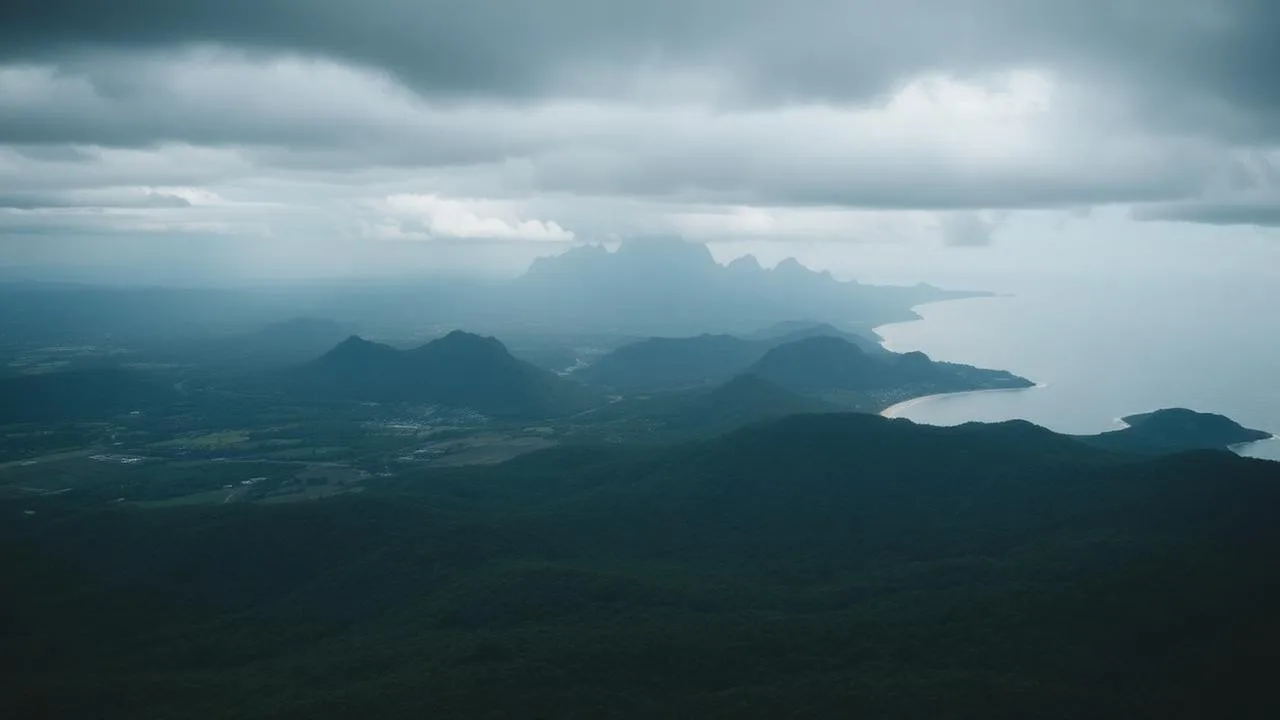
Coverage
Where we fly around Sunshine Coast
Suburbs and localities served
Noosa Heads, Noosaville, Peregian, Coolum, Maroochydore, Mooloolaba, Buderim, Caloundra, Maleny, Montville, Mapleton, Eumundi, Nambour
Local government areas
- Sunshine Coast Council
- Noosa Shire Council
- Gympie Regional Council
- Departure base
- Archerfield / Sunshine Coast Airport
- Mobilisation from base
- 36 min transit
- Service radius
- 130 km
- Typical response window
- Next day standard, 2–3 days for coordinated coastal work
- Typical on-site duration
- 1 day(s) per mobilisation
- Aircraft available
- AS350 · 800 kg working hook · about 20 min flight time per lift
We operate statewide, the radius shows the area typically covered from this base without additional fuel staging.
What we lift here
Sunshine Coast demand, weighted by job volume
- Spa & pool lifting30% of jobsHinterland and Noosa hillside installs
- Difficult access lifting22% of jobsSteep blocks and vegetated coastal lots
- Construction lifting16% of jobsRoof structures on escarpment builds
- HVAC & rooftop plant lifting12% of jobsResort and hospital plant changeouts
- Solar & renewables lifting10% of jobsHinterland array and inverter placements
- Agricultural & rural lifting10% of jobsTanks, troughs and shed frames on acreage
Local operating considerations
What actually governs a lift in Sunshine Coast
Airspace, weather, terrain and approvals decide whether a lift flies, not the hook rating. This is the operating picture we plan every Sunshine Coast task against.
Sunshine Coast Airport and Class D airspace
Marcoola through Maroochydore sits under Sunshine Coast Tower's control step. Coastal lifts inside that footprint are booked with the tower, and the approach path is planned to stay clear of the runway extended centreline and the circuit.
Hinterland escarpment and rotor-disc clearance
Maleny, Montville and Mapleton blocks fall away sharply and are usually flanked by mature timber. Long lines of 30 m or more keep the disc out of canopy, but they also increase load pendulum, so we brief a slower descent rate and place a spotter with direct comms on the landing point.
Coastal vegetation and protected species
Noosa Shire and coastal Sunshine Coast Council areas carry strict vegetation protection. Aerial placement is often the approval pathway itself, no clearing for a crane pad means no vegetation permit, and we document the flight path accordingly for the certifier.
Morning inversion and hinterland fog
Valley fog sits in the hinterland gullies until mid-morning through winter. Rather than launch and wait, we plan hinterland tasks for a 09:30–13:00 window and coastal tasks for first light on the same day where both are booked.
Tourism traffic and beachfront exclusion zones
Peak-season foot traffic at Noosa Main Beach and Mooloolaba makes ground control the limiting factor, not the flying. Beachfront jobs are scheduled outside school holidays where the client can flex, with council liaison for any public-land cordon.
Projects in this region
Lifts we have flown here
760 kg
Swim spa to a Montville escarpment block
42 m drop below road level, 35 m line, single placement onto a cantilevered deck frame.
Montville · AS350
740 kg
Resort chiller replacement, Noosa Heads
Operating hotel; guest levels cleared and the whole exchange completed before 07:30.
Noosa Heads · AS350
560 kg
Solar array delivery, Maleny
Eighteen smaller pallet shuttles to a ridge site with no all-weather access track.
Maleny · AS350
Get your price range in a minute
Tell us the load and the site. You see an indicative range before we ask for your details. From $14,000 plus GST.
Request a liftQuestions
Sunshine Coast, frequently asked
Other locations
Ready to book a lift?
Get an indicative price in about a minute, then a written quote.